Avenza Maps: Rugged Apps Edition
Avenza Maps®: RA Edition has been fortified to meet the standards identified to ensure the app is safe and secure for government use. Shielding against constantly evolving cyber threats and providing government and commercial customers with a highly-secured mobile mapping app to complete missions every day.

Benefits and Features

Work without a connection

Import custom maps

Share maps and data

Collect and manage data

Advanced map tools

Exclusive NGA maps
Avenza Maps, a Secured Rugged App
Meeting the strict tolerances of Rugged Apps, Avenza Maps: RA Edition meets the standards identified to ensure the app is safe and secure for government use and ensures positive control of the source code throughout. This prevents man-in-the-middle attacks on these apps and creates the safest experience for government users.
More Pro features
Mission Essential
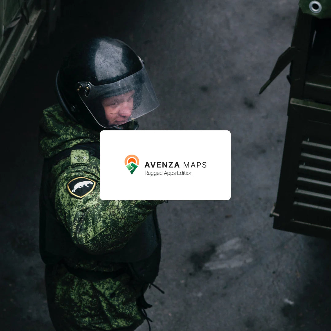
Dependable for government, land management, forestry, military and intelligence, and disaster-relief.
Unparalleled Security
Meets the standards identified to ensure the app is safe and secure for government use.
Convenient Distribution
Access through government MDM systems or devices not managed via MDM and manage subscriptions for multiple users and devices.
Mobile Mapping for Government Professionals
Avenza Maps: RA Edition supports government, land management, forestry, intelligence community, military, and disaster-relief users by providing secure use of the app and access to exclusive maps for various mission areas. Users who rely on mapping information technology and the ability to be both accurate and operationally efficient to ensure mission-critical objectives are met. Avenza Maps allows you to have access to the most up-to-date geographic information from wherever you are. Keep it relevant with additional mapping tools and field data collection inside the app.

The flexible app lets you import your own or your team's maps, or any map from the Avenza Map Store, and organize them as a collection for easy access. In or out of network coverage, maps can be used with your device's GPS to precisely locate yourself for navigation. Collect points of data in the field, identify hazards, take inventory of remote areas or indicate the location of mission-specific assets and activities.
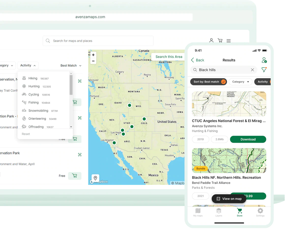
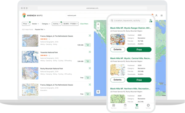
Explore the Avenza Map Store
For qualified users, discover maps in the Avenza Map Store, the world’s largest digital catalogue of maps created by professional map publishers. Download unlimited maps from the Map Store's extensive catalog of digital maps from inside the app or on the Avenza Maps website.

Mobile Mapping for Government Professionals
Government customers are able to order through NASA SEWP (Solutions for Enterprise-Wide Procurement) or by contacting Avenza Sales directly by phone at 800-884-2555 (North America) or at 1-416-487-5116, by email at sales@avenza.com, or through the online order form. Users are able to either enroll organization-owned devices through a mobile device management (MDM) system or access the app on devices that are not managed via MDM. Once approved and registered, the Avenza Maps app can be downloaded to mobile devices that allows approved users access to Avenza Maps Pro tier tools and features, and unlimited georeferenced, offline, and location-aware maps from the Avenza Map Store.

Avenza Maps: RA Edition is currently available on both iOS and Android platforms.