
Bundle
40
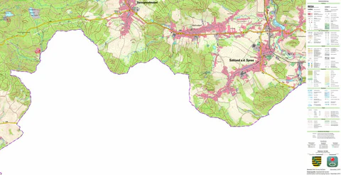
Rural District of Bautzen (1:25,000 scale)
Staatsbetrieb Geobasisinformation und Vermessung Sachsen
Free
These are topographic maps of Bautzen, Saxony, Germany, created by Avenza using open access data provided by The Department of Geoinformation and Survey of Saxony. Users must be aware that maps are not always consistent with the terrain, and any use must occur with due caution and consideration t...
Geographic area:
Category:
Topographic
Size:
375.01MB
Publication:
December 2019
Language:
Czech, English, German
Map bounds
Maps included in this bundle
This bundle contains 40 maps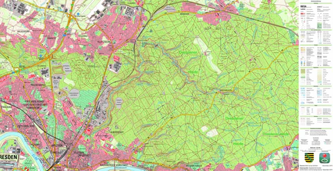
Topographic
Dresdner Heide, Dresden, Stadt (1:25,000 scale)
Staatsbetrieb Geobasisinformation und Vermessung Sachsen
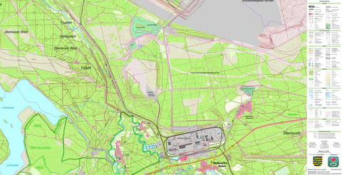
Topographic
Nochten, Boxberg/O.L. (1:25,000 scale)
Staatsbetrieb Geobasisinformation und Vermessung Sachsen
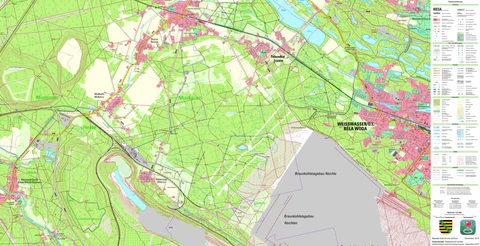
Topographic
Weißwasser/O.L., Stadt, Weißwasser/O.L., Stadt (1:25,000 scale)
Staatsbetrieb Geobasisinformation und Vermessung Sachsen
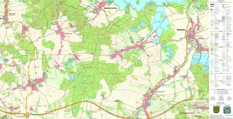
Topographic
Nieder Seifersdorf, Waldhufen (1:25,000 scale)
Staatsbetrieb Geobasisinformation und Vermessung Sachsen
Topographic
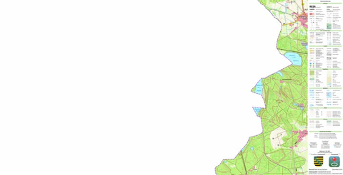
Sohland a. d. Spree, Sohland a. d. Spree (1:25,000 scale)
Staatsbetrieb Geobasisinformation und Vermessung Sachsen
Topographic
Leippe, Lauta, Stadt (1:25,000 scale)
Staatsbetrieb Geobasisinformation und Vermessung Sachsen
What you get with Avenza Maps

Reliable mapping tools
Record GPS tracks, add placemarks, add photos, measure distances, and much more.

Locate yourself with GPS
Avenza Maps offline GPS app on your mobile device can locate you on any map, without WiFi or network connectivity.

The best maps by the best publishers
Download professionally curated digital maps on the Avenza Map Store from the best-renowned publishers.