Bundle
7
Daintree National Park
- Hiking
$4.99 USD
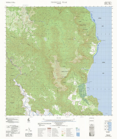
This is a collection of topographic maps by the Commonwealth of Australia (Geoscience Australia) covering the area of Daintree National Park. The original files have been spatially enhanced by Avenza Systems in 2023, and it is intended for reference purposes only since many roads and pathways may...
Geographic area:
Maps of Australia
Maps of Brooklyn Private Nature Reserve
Maps of Cairns (Region), Queensland
Maps of Daintree National Park
Maps of Eastern Kuku Yalanji Indigenous Protected Area
Maps of Eastern Kuku Yalanji Indigenous Protected Area sea country
Maps of Ngalba Bulal National Park
Maps of Queensland, Australia
Category:
Topographic
Size:
586.71MB
Publication:
1983
Language:
English
Map bounds
Maps included in this bundle
This bundle contains 7 maps


What you get with Avenza Maps

Reliable mapping tools
Record GPS tracks, add placemarks, add photos, measure distances, and much more.

Locate yourself with GPS
Avenza Maps offline GPS app on your mobile device can locate you on any map, without WiFi or network connectivity.

The best maps by the best publishers
Download professionally curated digital maps on the Avenza Map Store from the best-renowned publishers.