


Bundle
100
1
Backroad Mapbook Northeastern Ontario 6th edition (NEON Map Bundle)
- Camping
- Fishing
- Hiking
- Hunting
- Off-roading
$24.99 USD
These recreation topographic maps for Northeastern Ontario highlight all the logging/resource roads, hunting areas, fishing lakes & streams, campsites, paddling routes for canoeing and kayaking, wildlife viewing areas, motorized trails for ATVing and snowmobiling, multi-use trails for hiking,...
Geographic area:
Category:
Parks & Forests
Size:
528.75MB
Publication:
2024
Language:
English
Map bounds
Maps included in this bundle
This bundle contains 100 maps

Parks & Forests
NEON29 Gogama - 6th ed Northeastern Ontario Topo
Backroad Mapbooks
- Camping
- Fishing
- Hiking
- Hunting
- Paddling

Parks & Forests
NEON18 Mississagi River – 6th ed Northeastern Ontario Topo
Backroad Mapbooks
- Camping
- Fishing
- Hiking
- Hunting
- Paddling
Parks & Forests
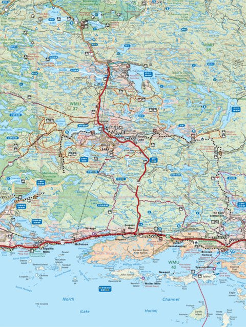
NEON08 Elliot Lake – 6th ed Northeastern Ontario Topo
Backroad Mapbooks
- Camping
- Fishing
- Hiking
- Hunting
- Paddling

Parks & Forests
NEON56 Lake Abitibi - 6th ed Northeastern Ontario Topo
Backroad Mapbooks
- Camping
- Fishing
- Hiking
- Hunting
- Off-roading

Parks & Forests
NEON28 Sultan – 6th ed Northeastern Ontario Topo
Backroad Mapbooks
- Camping
- Fishing
- Hiking
- Hunting
- Paddling
Customer Reviews
5.0 Based on 1 Reviews
Write a Review Ask a Question - Reviews
- Questions
Filter Reviews:
A
04/06/2024
Anonymous
I recommend this product
Didn't see much difference in the updated version. Have only used it once though.
What you get with Avenza Maps

Reliable mapping tools
Record GPS tracks, add placemarks, add photos, measure distances, and much more.

Locate yourself with GPS
Avenza Maps offline GPS app on your mobile device can locate you on any map, without WiFi or network connectivity.

The best maps by the best publishers
Download professionally curated digital maps on the Avenza Map Store from the best-renowned publishers.