1
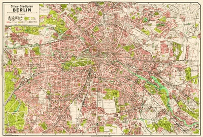
Berlin City Map, 1938
- City Tours
$3.99 USD
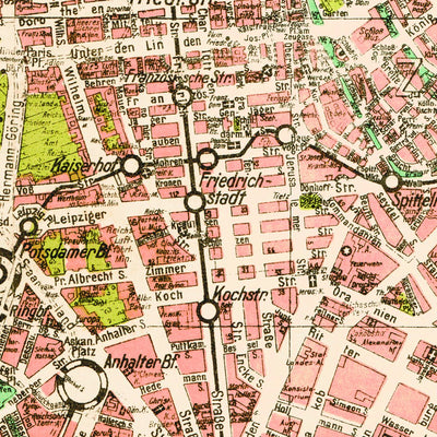
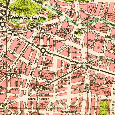
Silva-Stadtplan Berlin covers the most densely built-up area of the city actual to 1938 from Westend to Marzann-Hellersdorf and from Pankow to Mariendorf. The map displays street network and railway network in detail; all streets are labelled, selected blocks have designated corner house numbers....
Category:
Tourist
Size:
73.68MB
Publication:
1938
Language:
German
Map bounds
Check nearby maps Customer Reviews
5.0 Based on 1 Reviews
Write a Review Ask a Question - Reviews
- Questions
Filter Reviews:
JB
02/29/2024
Jennifer B.
United States
I recommend this product
Berlin map
I searched for a 1939 map of Weilburg. The search presented a 1938 map of Berlin. Somehow I missed that and I ended up buying a map I have no use for. My bad! Fortunately, it isn’t very expensive. I wish the site had made a point of informing me that it doesn’t have my requested map.
What you get with Avenza Maps

Reliable mapping tools
Record GPS tracks, add placemarks, add photos, measure distances, and much more.

Locate yourself with GPS
Avenza Maps offline GPS app on your mobile device can locate you on any map, without WiFi or network connectivity.

The best maps by the best publishers
Download professionally curated digital maps on the Avenza Map Store from the best-renowned publishers.