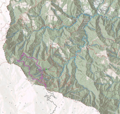
La foresta di Campigna
- Hiking
Free
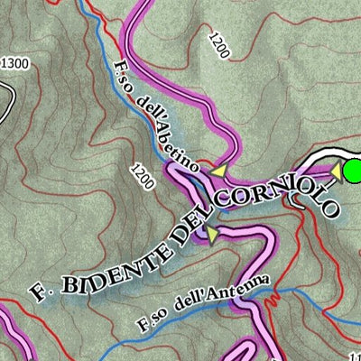
L’itinerario inizia dal piccolo centro di Campigna e giunge presso gli impianti di sciistici, da cui inizia una strada forestale che in discesa riporta a Campigna
Dati tecnici
Lunghezza: 10.0km
Dislivello in salita/discesa: 550m / 550m
Tipo di itinerario: LOOP (anello)
http://www.outdoor...
Dati tecnici
Lunghezza: 10.0km
Dislivello in salita/discesa: 550m / 550m
Tipo di itinerario: LOOP (anello)
http://www.outdoor...
Geographic area:
Category:
Parks & Forests
Size:
8.1MB
Publication:
March 2018
Language:
Italian
Map bounds
Check nearby mapsWhat you get with Avenza Maps

Reliable mapping tools
Record GPS tracks, add placemarks, add photos, measure distances, and much more.

Locate yourself with GPS
Avenza Maps offline GPS app on your mobile device can locate you on any map, without WiFi or network connectivity.

The best maps by the best publishers
Download professionally curated digital maps on the Avenza Map Store from the best-renowned publishers.