


4
Pawnee National Grassland (West) - MVUM
US Forest Service R2 Rocky Mountain Region
- Backroading
- Off-roading
This product can also be purchased as part of the following bundle(s).
Free
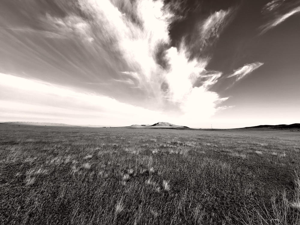
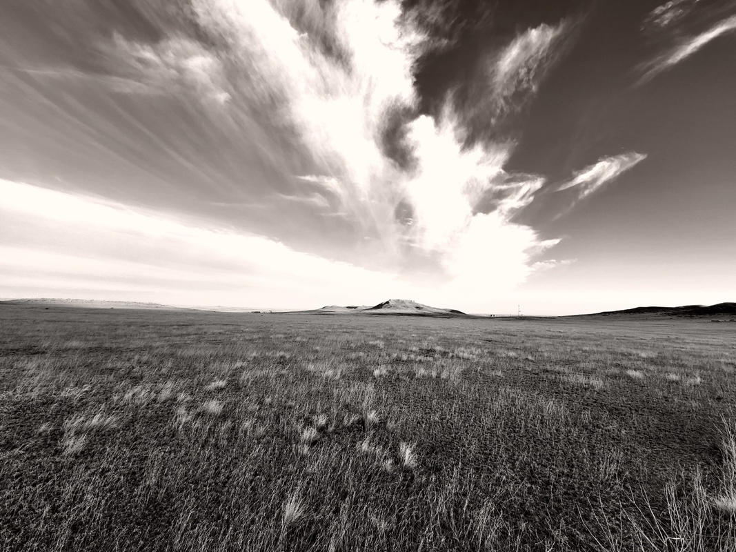
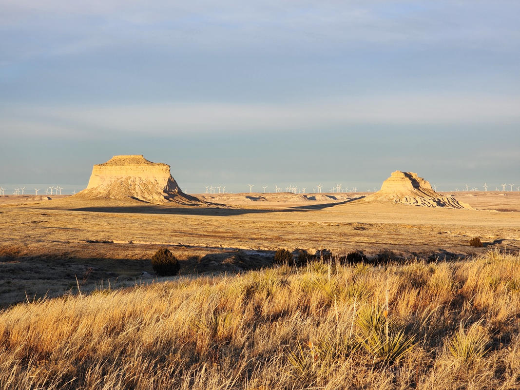
This is a Motor Vehicle Use Map (MVUM) for the Pawnee National Grassland of Arapaho and Roosevelt National Forest, Colorado. MVUMs are the official maps for designating all roads and trails available for public motorized travel on National Forests. Printed MVUMs are free to the public at local Na...
Geographic area:
Category:
Trails
Size:
6.03MB
Publication:
2011
Language:
English
Map bounds
Check nearby maps Customer Reviews
4.8 Based on 4 Reviews
Customer Photos

- Reviews
- Questions
Filter Reviews:
JK
02/19/2024
Jonathan K.
I recommend this product
Great Mapping Application!
I used this mapping application to navigate in the Pawnee National Grassland area on an extended cross country hike where there was no internet or phone connection. It worked fantastic and I made it back to camp near sundown. Offline maps are essential in offline areas. Avenza works great.
A
11/14/2023
Anonymous
I recommend this product
Pawnee National Grassland
Map was very helpful! Enjoyed exploring this peaceful area!
C
07/22/2021
Customer
Aurora, Colorado, United States
Pawnee National Grassland (West) - MVUM
What you get with Avenza Maps

Reliable mapping tools
Record GPS tracks, add placemarks, add photos, measure distances, and much more.

Locate yourself with GPS
Avenza Maps offline GPS app on your mobile device can locate you on any map, without WiFi or network connectivity.

The best maps by the best publishers
Download professionally curated digital maps on the Avenza Map Store from the best-renowned publishers.