


Yellowstone & Grand Teton 1989
- Hiking
$4.99 USD
A year after the great fires of 1988, this map of the Yellowstone and Grand Teton parks features historical and geographical information as well park attractions. This map was published in February 1989 as half of a two-map presentation on these majestic national treasures.
Geographic area:
Category:
Parks & Forests
Size:
30.2MB
Publication:
1989
Language:
English
Map bounds
Check nearby mapsYou might also like
9
Parks & Forests
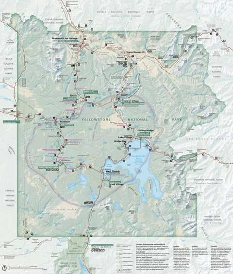
Yellowstone National Park
US National Park Service · Publication February 2021
- Hiking
Free
3
Parks & Forests
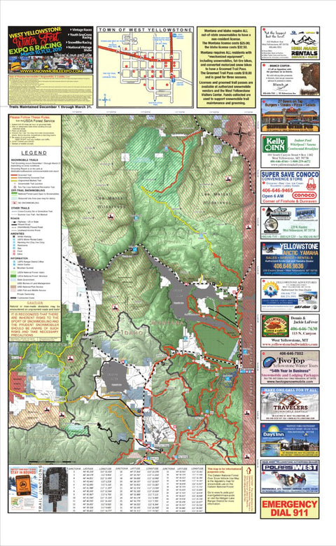
West Yellowstone Snowmobile Map (North Half)
MontanaGPS · Publication January 2017
- Hiking
- Snowmobiling
Free
4
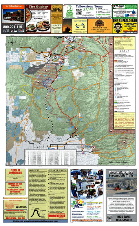
Parks & Forests
West Yellowstone Snowmobile Map (South Half)
MontanaGPS · Publication January 2017
- Hiking
- Snowmobiling
Free
16
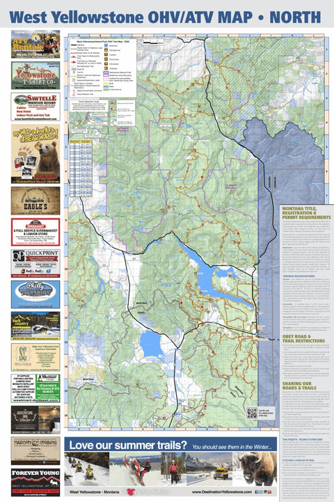
Parks & Forests
West Yellowstone Motorized Trail Map - North
MontanaGPS · Publication June 2020
Free
What you get with Avenza Maps

Reliable mapping tools
Record GPS tracks, add placemarks, add photos, measure distances, and much more.

Locate yourself with GPS
Avenza Maps offline GPS app on your mobile device can locate you on any map, without WiFi or network connectivity.

The best maps by the best publishers
Download professionally curated digital maps on the Avenza Map Store from the best-renowned publishers.