Bundle
2
1
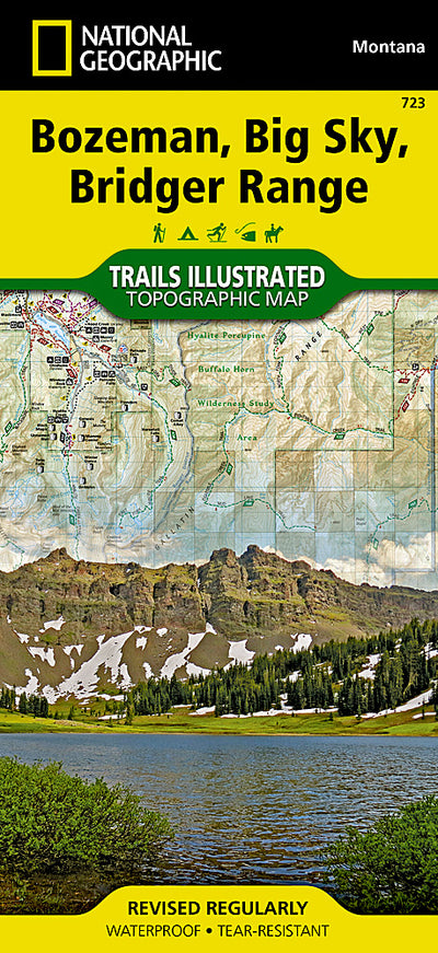
723 :: Bozeman, Big Sky, Bridger Range
- Camping
- Fishing
- Hiking
- Skiing
$11.99 USD
The Bridger and Gallatin ranges and their surrounding areas offer year-round recreation opportunities in a landscape of pristine forests, rivers, meadows, and soaring peaks. National Geographic’s Trails Illustrated map of Bozeman, Big Sky, and Bridger Range is designed to meet the needs of outdoo...
Geographic area:
Category:
Parks & Forests
Size:
124.4MB
Publication:
2014
Language:
English
Map bounds
Maps included in this bundle
This bundle contains 2 maps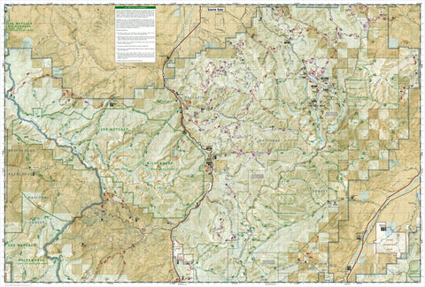
Parks & Forests
723 Bozeman, Big Sky, Bridger Range (south side)
National Geographic
- Cycling
- Fishing
- Hiking
- Off-roading
- Skiing
Parks & Forests
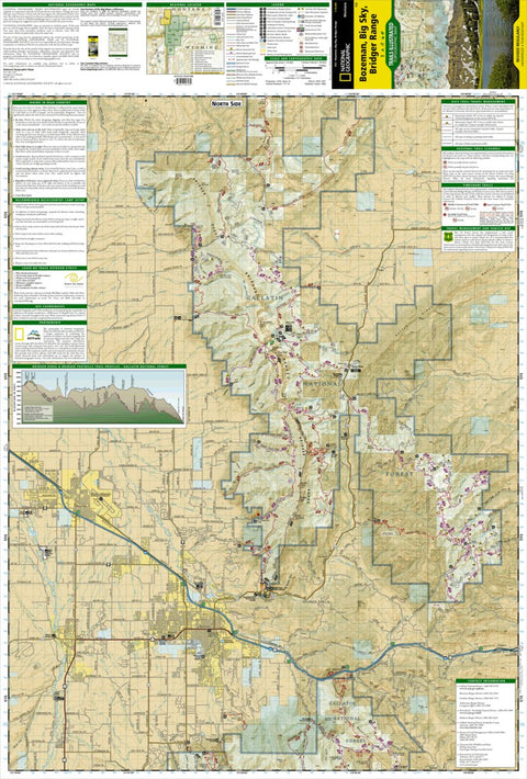
723 Bozeman, Big Sky, Bridger Range (north side)
National Geographic
- Cycling
- Fishing
- Hiking
- Off-roading
- Skiing
Customer Reviews
4.0 Based on 1 Reviews
Write a Review Ask a Question - Reviews
- Questions
Filter Reviews:
- issue
- goals
- Truman Gulch
- distances
- maps
- switchbacks
- trail
- Avenza
- grid
- point
A
08/20/2022
Anonymous
I recommend this product
Easy to follow
The maps are great and easy to follow. I enjoy the distances noted as well as the grid to set some goals on how far to hike. Only issue is that the Truman Gulch trail is out of date in Avenza. That trail had switchbacks added at some point that aren't noted on the map.
What you get with Avenza Maps

Reliable mapping tools
Record GPS tracks, add placemarks, add photos, measure distances, and much more.

Locate yourself with GPS
Avenza Maps offline GPS app on your mobile device can locate you on any map, without WiFi or network connectivity.

The best maps by the best publishers
Download professionally curated digital maps on the Avenza Map Store from the best-renowned publishers.