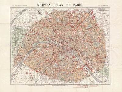
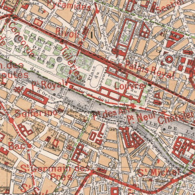
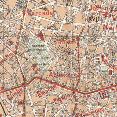
Paris city map (New Plan of Paris), 1912
- City Tours
$2.99 USD
Old vintage map of Paris (New Plan of Paris), 1912, in France. Originally produced by Librairie Garnier Frères, at the scale of 1:20,000. Digitally restored and re-mastered. A part of the Discus Media 1900 Historical Map Collection.
To buy a hard copy of this map (printed poster) or a high re...
To buy a hard copy of this map (printed poster) or a high re...
Geographic area:
Category:
Tourist
Size:
45.82MB
Publication:
1912
Language:
French
Map bounds
Check nearby mapsWhat you get with Avenza Maps

Reliable mapping tools
Record GPS tracks, add placemarks, add photos, measure distances, and much more.

Locate yourself with GPS
Avenza Maps offline GPS app on your mobile device can locate you on any map, without WiFi or network connectivity.

The best maps by the best publishers
Download professionally curated digital maps on the Avenza Map Store from the best-renowned publishers.