

2
Motor Vehicle Use Map, Santa Catalina Ranger District, Coronado National Forest
- Off-roading
Free
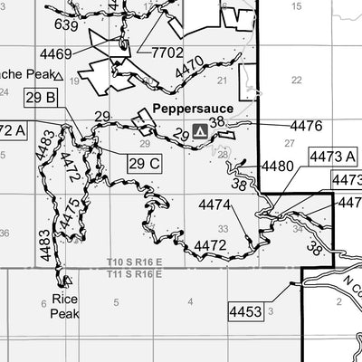
The printed USDA Forest Service Motor Vehicle Use Map (MVUM) from which this map was derived, is a free, single-purpose, black-and-white map that displays those roads, trails, and areas designated for motor vehicle use on a particular national forest or grassland. Routes not designated for motor ...
Geographic area:
Category:
Trails
Size:
9.89MB
Publication:
February 2020
Language:
English
Map bounds
Check nearby maps Customer Reviews
4.5 Based on 2 Reviews
Write a Review Ask a Question - Reviews
- Questions
Filter Reviews:
A
08/10/2023
Anonymous
I recommend this product
Catalina area map.
Haven't used the map yet but have seen It demonstrated by a friend. Very impressed.
C
07/15/2021
Customer
Tucson, Arizona, United States
accurate map, can't beat it for free
What you get with Avenza Maps

Reliable mapping tools
Record GPS tracks, add placemarks, add photos, measure distances, and much more.

Locate yourself with GPS
Avenza Maps offline GPS app on your mobile device can locate you on any map, without WiFi or network connectivity.

The best maps by the best publishers
Download professionally curated digital maps on the Avenza Map Store from the best-renowned publishers.