Mapping Alaska with BarnwellGeospatial
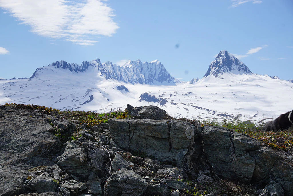
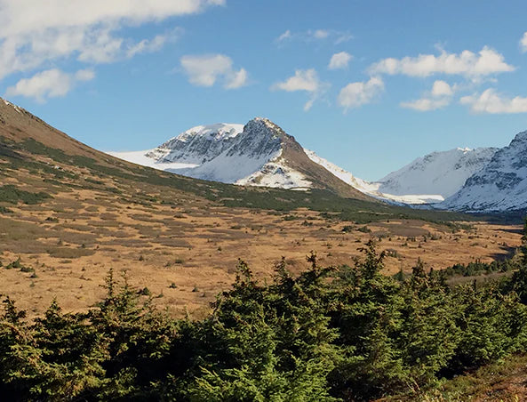
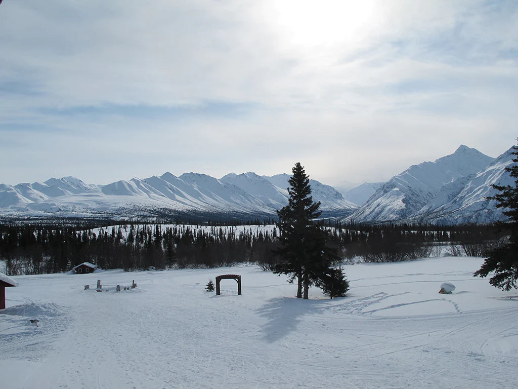
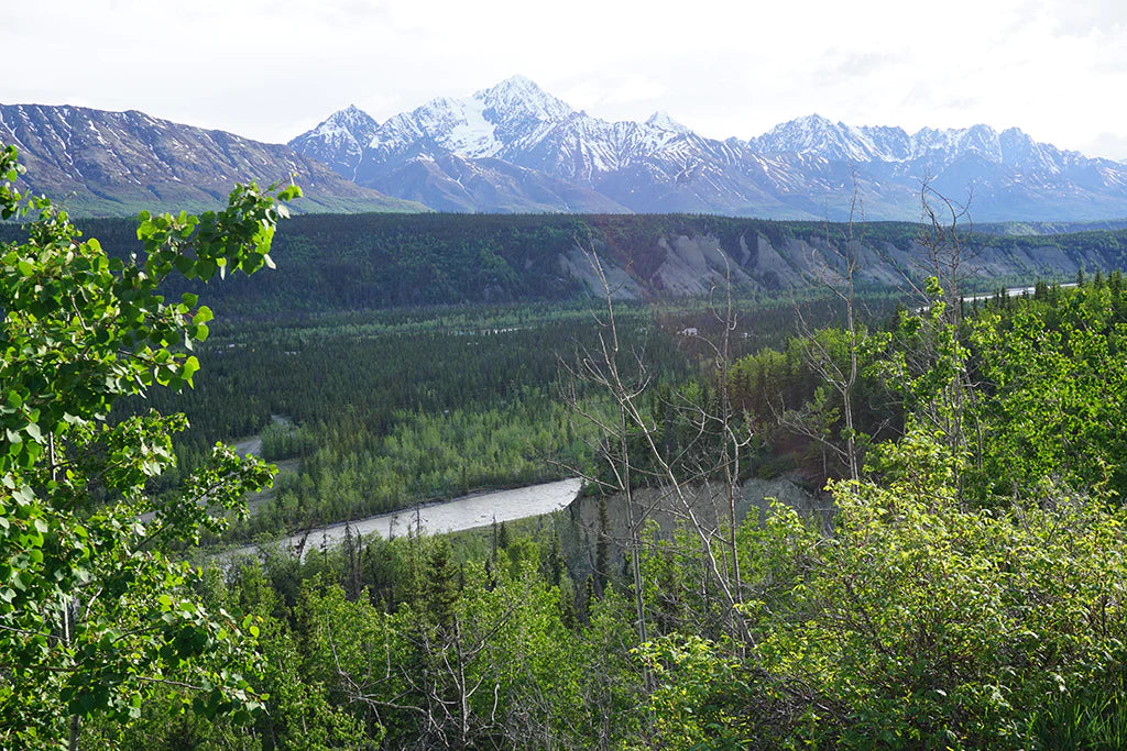
For this month’s publisher feature blog, we’re going to America’s 49th state, Alaska! BarnwellGeospatial, owned and created by Charles Barnwell seeks to make the highest quality, and up-to-date topographic maps available, especially to those using mobile devices. Charlie was raised in Alaska and worked as an exploration geologist before moving on to GIS. He enjoys snow sports, hiking and boating, and is passionate about cartography.
With a long history in the GIS realm, Charlie was one of the first users of Esri’s ArcInfo. After working as a regional manager for Esri, and being the GIS manager for the Municipality of Anchorage, Charlie now works creating maps for BarnwellGeospatial, and part-time for engineering companies managing GIS projects.
Charlie is focused on maps for Alaska for many reasons. “The demand is high for high-quality maps using the latest available data,” says Charlie. He was the project manager for the Statewide Digital Maps Initiative (SDMI), starting in 2007, a partnership of the State of Alaska and the US Geological Survey (USGS), which led to upgrading Alaska’s topographic database and imagery base replacing the USGS topo maps that hadn’t been upgraded since 1980.
With a strong and well-rounded GIS background, Charlie has been aware of Avenza Systems utilizing GIS tools with Adobe Illustrator (MAPublisher) and has known about Avenza Maps for years. But what drove him to add his maps to the Map Store was seeing Avenza Maps used in the practical sense. “It was an engineering co-worker using Avenza Maps to locate himself on GIS produced maps in remote parts of Alaska, showing boundaries of federal and other refuges and parks, something that other mapping apps are not so good at,” Charlie says. The snowmachine club in his part of Alaska also uses Avenza Maps for the same purpose. Also, as a former exploration geologist, Charlie knows the importance of ensuring one is using high-quality maps in the field.

BarnwellGeospatial is working with users to bring awareness to the power of new data sources, such as LiDAR, and satellite imagery coupled with GIS. “Avenza Maps is a tool used by local groups such as Alaska trail advocacy organizations, to ensure they are mapping using the best data possible.”
Not only is Alaska a unique place to map, but it is also home to many datasets that are often unknown to the general public. These datasets are very valuable, and combining them with GIS allows them to be integrated into BarnwellGeospatial’s maps. Some of the datasets include USGS’s historic mine sites and trails mapping by state and federal agencies.
DOWNLOAD BARNWELLGEOSPATIAL MAPS NOW!
