Taking Mapping to New Heights
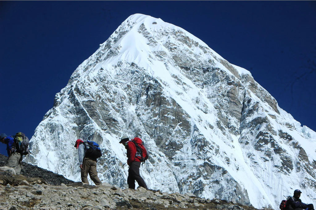
Have you ever dreamed of hiking Everest? Tackling the famous summit and making your mark as one of the small numbers of people to do so? Or even a small hike in the Himalayas? This month, we spoke to Partha S Banjeree of WNL-Newscript/Milestone Books, who makes maps of the Everest and other Himalayan regions.
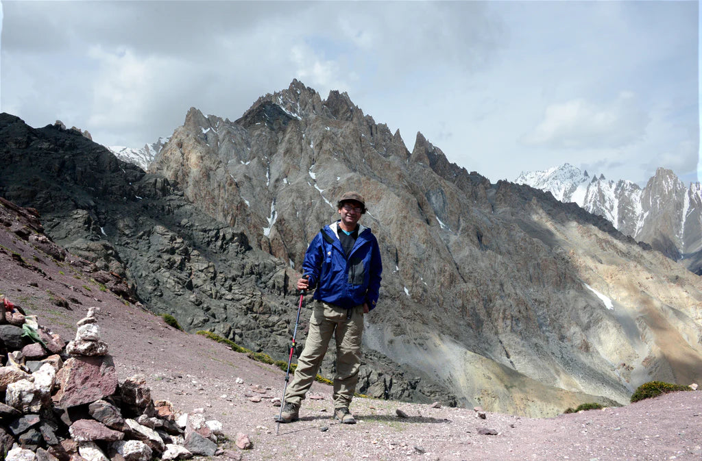
“Drawing maps was a hobby for me from childhood. I loved fantasizing about distant lands and would copy maps from my school atlas,” says Partha. With a major in physics in college and a Master's Degree from Delhi University, Partha worked as a science journalist and then moved to general news. After 20 years of working as a news reporter, Partha switched gears, followed his heart and childhood dreams, and went into travel journalism and cartography.
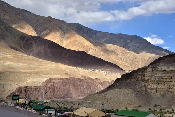
Based in Calcutta, India, they create maps and publish trekking and travel guidebooks for the Himalayan regions “that are extensively researched and have additional chapters on the people, history and culture of the areas covered,” Partha tells us. “Our popular guidebook on Ladakh is in its 5th edition, as is the trekking guide on Annapurna. Also popular is our Everest trekking guide (4th edition).”
“I was told about Avenza by a travel enthusiast from San Diego who has used several of our guides and maps,” says Partha. “Digital maps can be accessed offline on cellphones with GPS, so you can know your location right there on a map, of the region you are traversing.” Which in such vast and unpredictable regions can be extremely useful or even lifesaving.
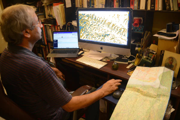
Maps that Partha draws are available on Avenza Maps for download, and the most popular map to date is the map of Ladakh, which covers over 20 trails. Partha first drew the map in 2009 and has continued to update it since. You can find the updated version in the Map Store here!
Although Partha and his team don’t make it to every corner of the region they are mapping, they know the trails extremely well. “My favourite part of creating maps is detailing the trails, marking out the villages they pass through, the lodges and other facilities for hikers located alongside.”
For the future of WNL-Newscript, Partha hopes to expand their map coverage areas. “We hope to bring out user-friendly maps of the Himalayas, such as north-central (Himachal/Uttarakhand) and east (Bhutan/Arunachal) that we haven’t yet covered.”
WNL-Newscript Maps in the Avenza Map Store
If you’d like to learn more about WNL-Newscript and their maps, you can check out their website here! See all the maps they have available in the Avenza Map Store here.