Avenza Maps Pro. Offline mobile mapping and data collection for professionals
Avenza Maps Pro® is designed for individuals, organizations, governments, and academic institutions around the world that need advanced mobile mapping capabilities in the field.
Discounts for volume orders.
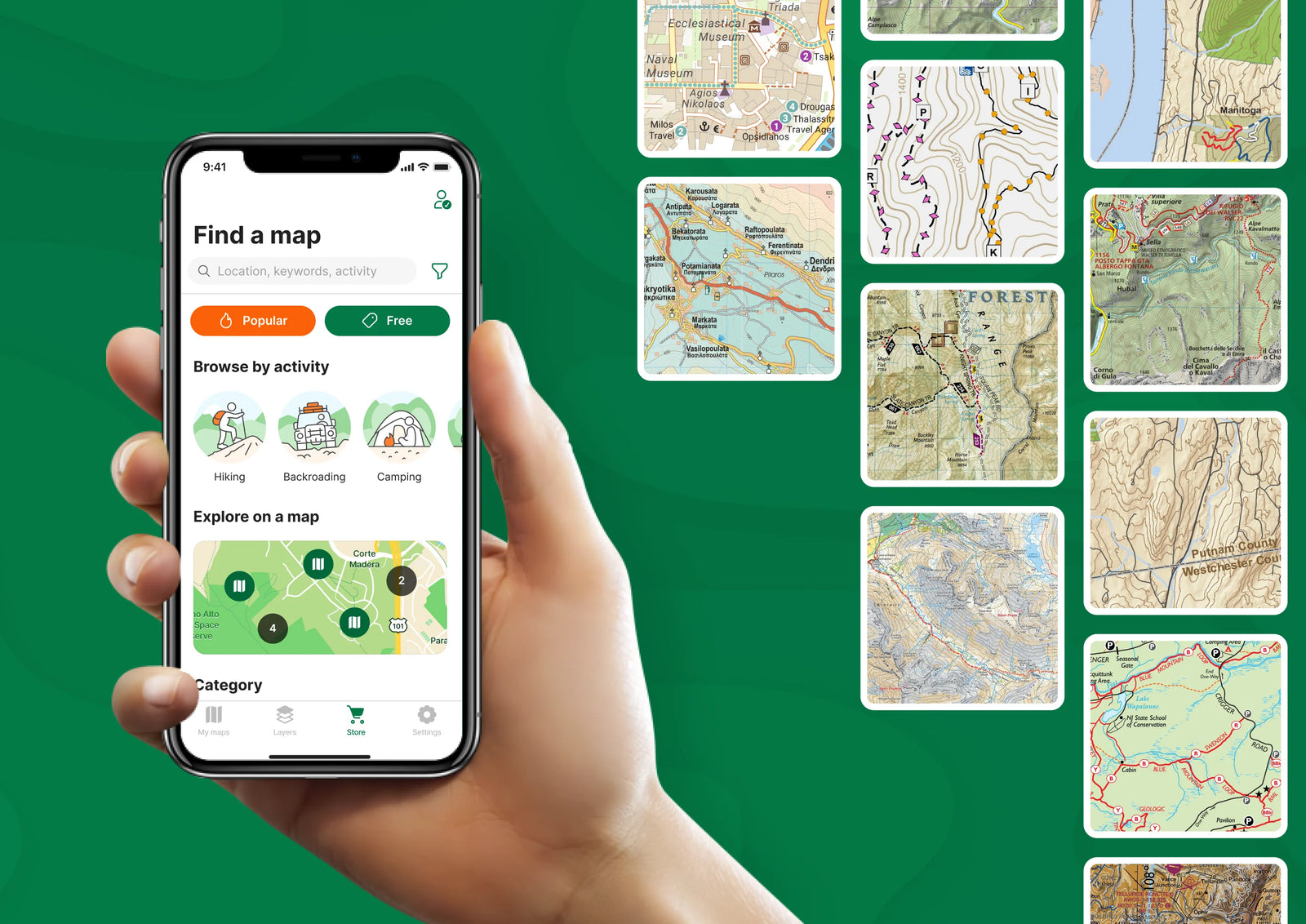

A mobile solution for offline maps
Equip teams with a reliable offline map app on smartphones and tablets to navigate and collect data in remote areas without internet, network, or satellite connections.
Import unlimited personalized maps
Avenza Maps Pro allows unlimited imports of personalized maps in geospatial PDF, GeoTIFF, GeoPDF®, and JPG (with appropriate reference files). Download your maps over a Wi-Fi or cellular network.
Shapefile and area support
Add shapefiles directly to your map to work with points, lines, and areas. Easily convert your collected GPS Tracks into an area. Use the Draw and Measure tool to create areas and export to shapefile when ready to share.
Collect and share map data
Easily record attributes at any placemark or track. Add custom fields, insert field values, modify location, change color, and add notes and geotagged photos. Import and manage custom symbol sets to use with your maps and set default symbols to be used on layers while collecting data. Export and share data with your teams and ensure everyone has the most up-to-date information anytime they need it.

More Avenza Maps Pro features
Use digital maps from virtually any source
Distribute maps faster and more efficiently
Simple yet powerful data collection
Train and educate with real world tools
Collect and manage data
Advanced map tools
Subscription manager
Enhanced technical support

Industries
Avenza Maps improves efficiency and productivity across your organization, no matter what your industry is. Take advantage of our flexible and affordable solution to help your organization make the most out of your mobile maps on the Avenza Maps platform.

Military

Firefighting

Forestry

Mining, Oil & Exploration

Conservation & Recreation

Non-Profit Organizations

Government

Utilities & Renewable Energy
