Overhead view of Wisconsin State Capitol and Madison skyline

Avenza Maps Pro for Government Use

How Can Avenza Maps Help You?

Mapping technology for government is essential to visualize information, aid operations, maintain and organize data, and help plan better communities and promote civic engagement. Today, the demands of having proven and effective solutions at your government's disposal while being fiscally responsible are ever-increasing. Avenza Maps is a cost-effective platform that enables you to align your mapping needs with your existing enterprise organizational needs.

The flexibility of our mobile app allows your field staff to import custom maps created by your team, group them as a collection for seamless browsing, and use them in the field fully offline when away from network coverage. Create and share custom collection schemas to take inventory of urban features, rural areas, and other relevant points of interest. The app allows you to export this data and upload it to your own network or a cloud storage solution for analysis by your office staff.

Providing proven technology to drive change is a high priority. The Avenza Maps platform provides your team with a more organized and managed way to use maps at all government levels and grants the ability to access data immediately enables better decision making.

What We Offer
Map pin icon

Works without a connection

Avenza Maps works 100% offline. Locate yourself using only GPS. Collect data in remote areas without needing to rely on a network connection.
Cell phone and tablet icon

Locate yourself and collect data

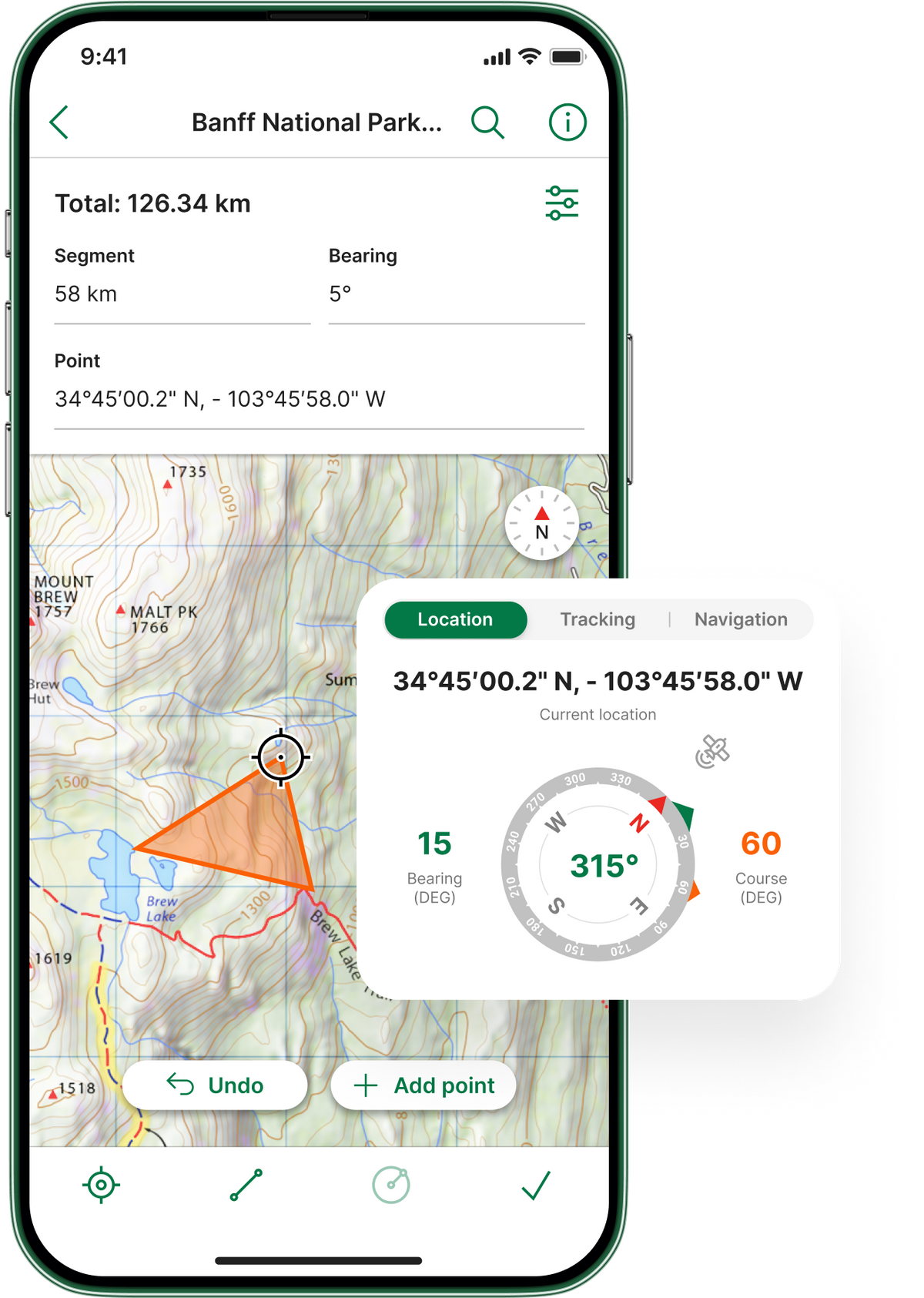
Collect data and organize it into custom schemas when out in the field. Export and share data with your teams to provide the most up-to-date sources.
Avenza Maps app on mobile
Import icon

Import custom maps

Use your own custom maps created with your own GIS data. You can import maps in many formats including GeoPDF®, GeoTIFF and JPG.
Shapefile icon

Shapefile and area support

Add shapefiles to your map to work with points, lines, and areas. Convert your GPS Tracks into an area or create areas and export them to shapefile when you’re ready to share.
Map pin icon

Works without a connection

Avenza Maps works 100% offline. Locate yourself using only GPS. Collect data in remote areas without needing to rely on a network connection.
Import icon

Import custom maps

Use your own custom maps created with your own GIS data. You can import maps in many formats including GeoPDF®, GeoTIFF and JPG.
Cell phone and tablet icon

Locate yourself and collect data

Collect data and organize it into custom schemas when out in the field. Export and share data with your teams to provide the most up-to-date sources.
Shapefile icon

Shapefile and area support

Add shapefiles to your map to work with points, lines, and areas. Convert your GPS Tracks into an area or create areas and export them to shapefile when you’re ready to share.

Case Study Insights

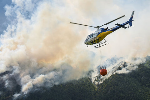
A helicopter carrying a bucket deliver water for forest fire

Wildland Fire’s Air Tactical Team

“Not too long ago, it was common to carry a briefcase filled with maps as large as 3 ft. x 2ft. that marked heli spots, division breaks, and numerous other landmarks. Although valuable, paper maps were very cumbersome, and sometimes so large that the ends could touch wall to wall in a tiny cockpit. When crews started to use digital maps on their iPads, it was definitely a welcome move for many. We used to get our first look of the fire during the morning briefing when the paper maps were handed out, but now both air and ground personnel come to the briefing more prepared knowing what they’re up against.”
Read the case study
Cars on a road with construction

Michigan's Department of Transportation

“Being able to digitally tag waypoints and georeferences directly on the map is something I could never do with paper maps. It really comes in handy when you’re out in the field.”
Read the case study
Smokey forest

United States Forest Service

“So much can change overnight when it comes to a wildfire or a hurricane. Now that we have Avenza Maps, we can update our maps throughout the day to keep everyone fully informed of the situation.”
Read the case study
Construction team building a road

Building Roads and Fighting Fires: Mobile Maps in Action

Steve Rooke is an Engineering Program Specialist with the Government of British Columbia. As part of the Engineering and Resource Roads Branch, Rooke and his team use a lot of technology in the field to do their job and make their workflows easier. The team has been using Avenza Maps Pro for the past 5 years to help with general navigation and data collection. “Using the app while fighting wildfires saves our GIS teams so much time, as we can easily export the data from the app and send it to them, they can update the maps and send the maps right back to us to import back into the app.”
Read the case study
Hot Air Balloons at Festival

Albuquerque Balloon Festival Utilizes Avenza Maps

“The few balloon operators that used the technology really found it useful. With Avenza Maps, they could see their geographical coordinates as they moved, and that’s an essential feature that we could never get with traditional maps.”
Read the case study

You're In Good Company

Geo BC logo
Central Land Council
Ministry of Environment and Food of Denmark
Stockholms Stad
USDA logo