Avenza Maps Pro for Conservation & Recreation
How Can Avenza Maps Help You?
Integrating technology into conservation efforts has made it easier for researchers to monitor threatened species and biodiversity. The challenge is to understand and utilize the collected data to better monitor the environment and make more informed decisions. The Avenza Maps platform allows conservation teams to record data, take notes, and include photos on offline maps in a simple task. The cost-effective solution enables you to align your mapping and field data collection needs with your existing enterprise organizational needs.
The flexibility of our mobile app allows you to import custom maps created by your team, group them as a collection for seamless browsing, and use them fully offline when away from network coverage. You can also create custom field collection schemas to take inventory of conservation areas, parks, and other relevant points of interest and upload it to your own network or a cloud storage solution.
Avenza Maps Pro lets you rely exclusively on GPS to precisely locate yourself and to collect points of data in the field.
Whether in a remote jungle or an urban green space, accurate data collection and ease of use are always the highest priorities. The Avenza Maps platform provides your team with a more organized and managed way to use maps on the ground and have data immediately available for improved environmental monitoring.
What We Offer

Works without a connection
Locate yourself and collect data
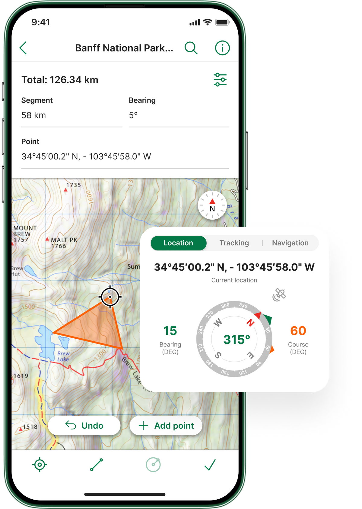

Import custom maps

Shapefile and area support
Works without a connection
Import custom maps
Locate yourself and collect data
Shapefile and area support
Case Study Insights

Conserving Tasmania's Disappearing Species

Guyra Paraguay Creates ‘Virtual Walks’ with Avenza Maps
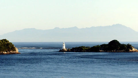
Volunteers use Avenza Maps to Maintain Cultural Tracks and Monitor Waterways in Tasmania
You're In Good Company